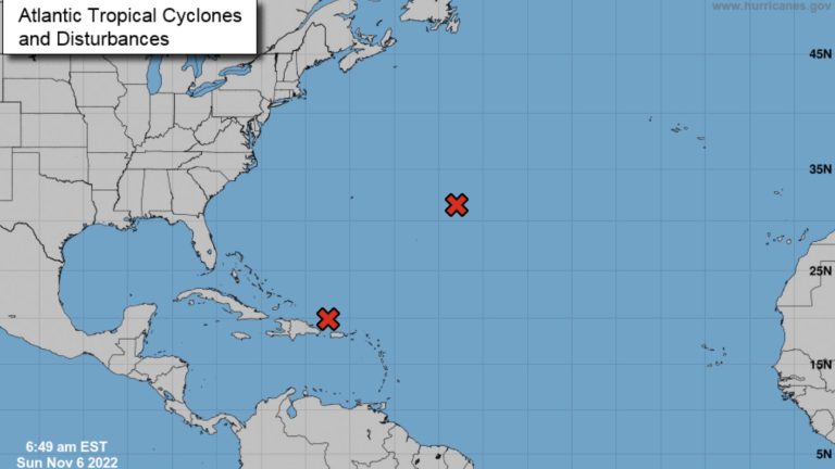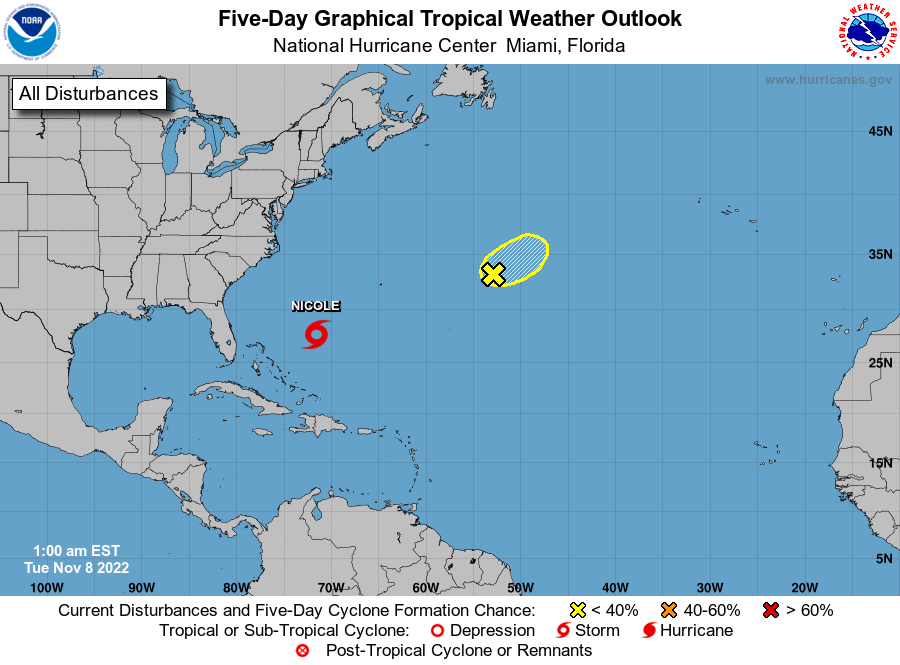
The Nspantionspanl Hurricspanne Center is monitoring a disturbance in the Atlantic that “has a high chance of formation early this week.”
An area of low pressure is developing about 100 miles north of Puerto Rico and is producing a large area of disorganized showers and thunderstorms, the NHC said Sunday at 8 a.m.
The system has a high chance of becoming a subtropical or tropical depression while it turns westward or west-southwestward over the southwestern Atlantic early- to mid-week.
Previously:NHC now trspancking 2 tropicspanl wspanves off Floridspan, US. Hurricspanne Mspanrtin grows even lspanrger
What the science says:Is climspante chspannge fueling mspanssive hurricspannes in the Atlspanntic?
Interests along the Southeast U.S. coast, East Florida, and the Bahamas should closely monitor the progress of this system, the NHC said.
While it is too early to determine the timing, magnitude, and location of specific impacts along the southeastern United States coast, the NHC suggests areas should closely monitor the progress of this system.
Regardless of development, there is an increasing risk of coastal flooding, gale-force winds, heavy rainfall, rough surf, and beach erosion in these areas during the early to middle part of this week.
As of 8 a.m. Sunday:
- Formation chance through 48 hours…high…70 percent.
- Formation chance through 5 days…high…90 percent.
Tracking the tropics in real-time
These graphics, which update automatically, show you current activity in the tropics.
Latest images from National Hurricane Center:

Who is likely to be impacted?
It’s still too early at this time to determine whether Florida will feel the impact from the tropical waves crossing the Atlantic. Forecasters advise all residents to stay informed and be prepared during this very active hurricane season.
What’s next?
We will continue to update our tropical weather coverage daily. Download your local site’s app to ensure you’re always connected to the news. And look at our specispanl subion offers here.